
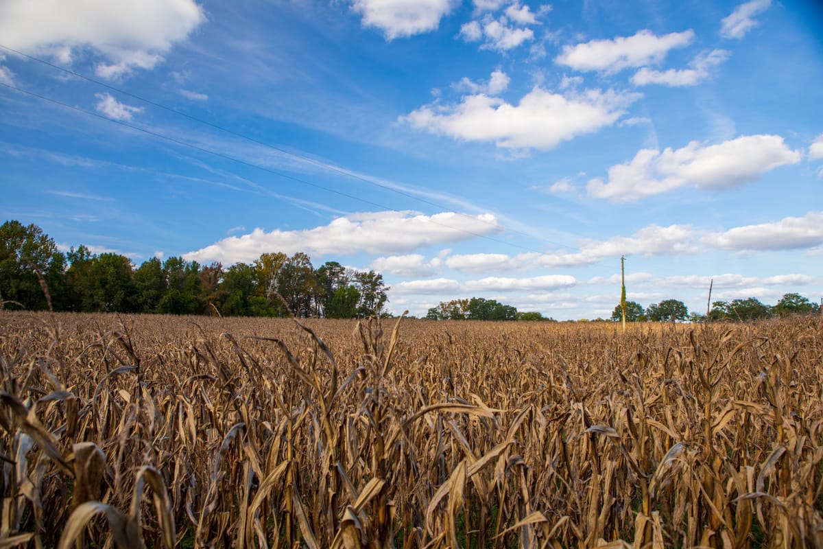
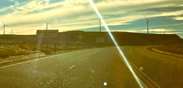
The recent rainfall has delivered welcome relief across many parts of the Karoo, but meteorologists caution that the coming summer will depend on climate patterns that are only now beginning to develop.
Talk of drought seems difficult to believe after weeks of rain across parts of the Karoo. Rivers and dams have risen and many farmers have welcomed the moisture after prolonged dry conditions, but seasonal forecasts are pointing to an increased possibility of drier conditions later this year if an El Niño climate pattern develops.
While winter 2026 has felt like the exact opposite of drought, climate scientists have been watching the Pacific Ocean for signs that an El Niño weather pattern could develop later this year, increasing the likelihood of hotter and drier conditions across much of South Africa's summer rainfall region. How can a wet winter coincide with warnings of a dry summer? According to meteorologists, there is no contradiction at all.
Different seasons, different weather systems
One of the most important things to understand is that South Africa's winter and summer rainfall are largely driven by different atmospheric systems. The rain that has fallen across parts of the Karoo this winter has been produced mainly by cold fronts and cut-off low pressure systems moving in from the Southern Ocean.
These weather systems are responsible for much of the Western Cape's winter rainfall while occasionally bringing significant rain and cold conditions further inland. Summer rainfall, however, is influenced by a different set of climate drivers. One of the most significant is the El Niño-Southern Oscillation (ENSO), a natural cycle linked to changing sea surface temperatures in the tropical Pacific Ocean. Although these weather systems all form part of Earth's climate, they operate largely independently. A wet winter therefore does not automatically determine what the following summer will bring.
Why scientists are watching the Pacific
The South African Weather Service, along with climate scientists around the world, continually monitors sea surface temperatures in the Pacific Ocean. When those temperatures begin shifting towards an El Niño phase, they can influence atmospheric circulation patterns thousands of kilometres away.
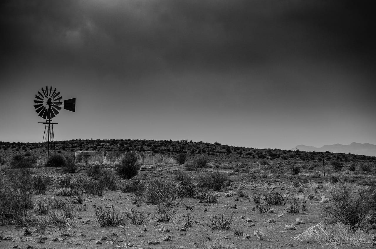
El Niño has historically been associated with an increased likelihood of below-average rainfall alongside above-average temperatures and greater drought risk.
It is important to note that El Niño does not guarantee drought. It does move the odds towards hotter and drier conditions, while local weather systems can still produce significant rainfall. This distinction explains why scientists can monitor the possibility of a dry summer even while winter rain continues to fall.
A wet winter can mask the first signs
An exceptionally wet winter can sometimes soften the early effects of a developing dry season. Healthy soil moisture and improved groundwater levels provide valuable reserves. Grazing responds quickly while crops and natural vegetation benefit from the additional moisture.
Those reserves do not disappear overnight. If a dry summer develops, they may initially cushion the region before prolonged heat and reduced rainfall begin placing pressure on water supplies and grazing. The benefits of a wet winter are real, even if seasonal forecasts become less favourable later in the year.
What it means for the Karoo
The recent rainfall has delivered welcome relief across many parts of the Karoo, but meteorologists caution that the coming summer will depend on climate patterns that are only now beginning to develop.
Seasonal forecasting is about probabilities. As the Pacific Ocean continues to evolve over the coming months, scientists will refine their outlooks while farmers continue watching their water supplies.


Comments ()