
Can you travel through the Karoo without using the N1
Travelling without the N1 is entirely possible. The reward is the chance to see the towns that the shortcut leaves behind.
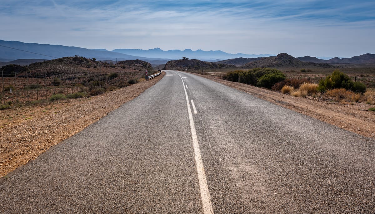
The N1 is the quickest and most well-known road through the Karoo, carrying travellers past Worcester, Beaufort West, Three Sisters and Colesberg before continuing towards Bloemfontein and Gauteng. The N1 is efficient and difficult to beat when time matters.
A longer route from Cape Town to Bloemfontein can avoid the N1 entirely, passing through the Klein Karoo, the Camdeboo and the southern Free State. The journey trades garages and steady traffic for mountain passes and settlements many travellers usually see only on a map.
Spread across five or six days, however, this becomes a Karoo road trip rather than a one-day alternative
Day one from Cape Town to Montagu
Leave Cape Town on the N2 before turning inland near Grabouw. The R321 leads through the Overberg towards Villiersdorp, while the R43 continues to Worcester. From there, the R60 runs through Robertson and Ashton before meeting the R62 near Montagu.
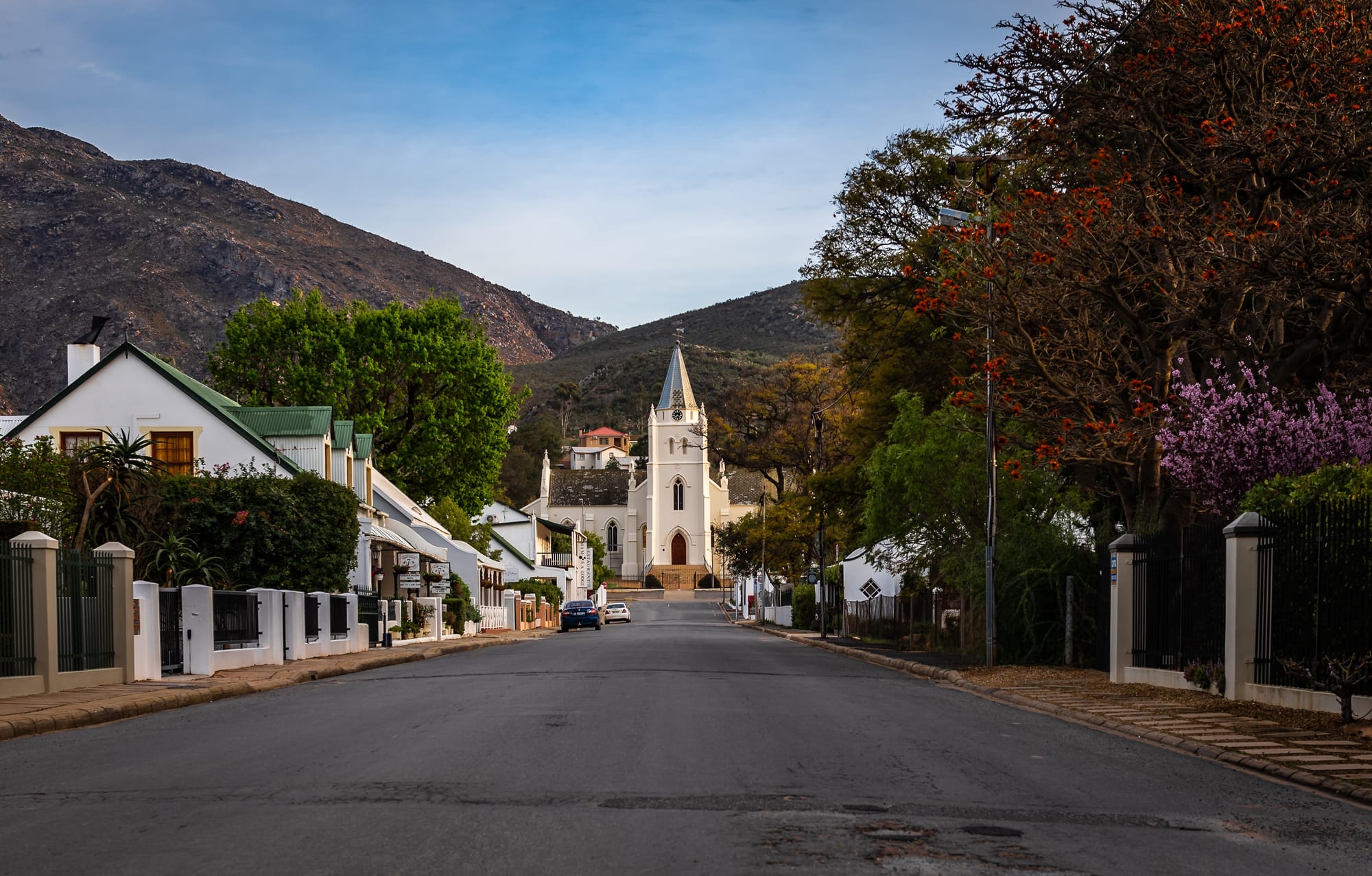
This western approach avoids the N1 while moving gradually from orchards and mountain valleys into drier country. Montagu makes a sensible first overnight stop, with enough accommodation and restaurants to avoid beginning the journey under pressure.
Route 62 is a scenic link between Cape Town and Gqeberha, with its most recognisable section running through Montagu, Barrydale, Ladismith, Calitzdorp and Oudtshoorn.
Day two along Route 62
From Montagu, follow the R62 east through Barrydale. The road crosses broad valleys before reaching Ladismith beneath the Klein Swartberg mountains.
Smaller settlements appear between the better-known towns. Zoar and Amalienstein developed around mission communities, while their position beside the R62 makes them easy to pass without stopping. A slower itinerary creates time to look at the mission complex and local buildings.
Calitzdorp is the next natural pause. The town is known for fruit, vineyards and a striking Dutch Reformed church, but the town's back streets and irrigation channels reveal just as much about life in the Klein Karoo.
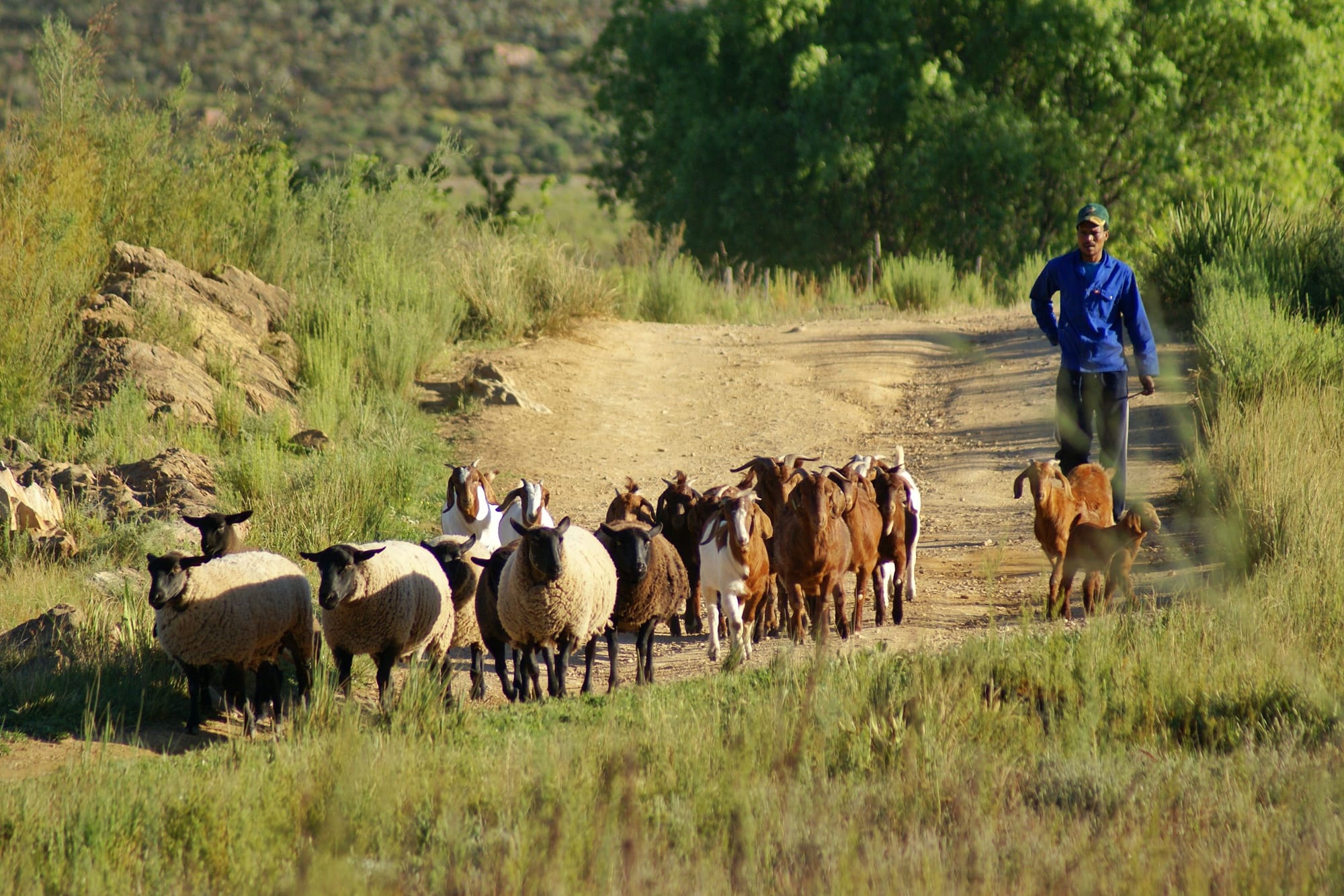
The day ends in Oudtshoorn, approximately 235 kilometres from Montagu. Although this is not a great distance, short stops turn it into a full day.
Day three towards Steytlerville
From Oudtshoorn, follow the N12 east to De Rust. Meiringspoort, which normally carries the N12 north from the town, remains closed after extensive flood damage in 2026. The alternative itinerary turns east onto the R341 towards the N9 and Willowmore, avoiding the damaged pass completely.
Willowmore has long served farms and travellers at the western gateway to the Baviaanskloof. From here, take the R329 towards Steytlerville. Part of this road is famous for its narrow concrete carriageway, and is South Africa’s last tarred single-lane concrete road.
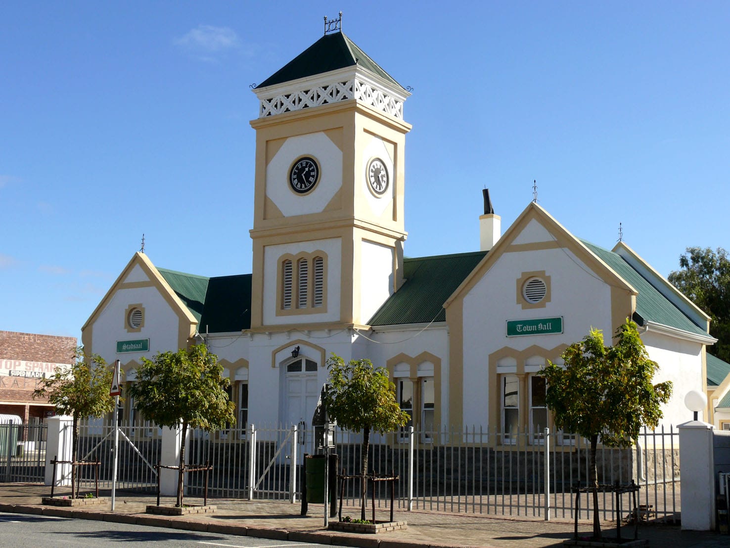
The road is shared in both directions, which means motorists must slow down and use the gravel shoulders carefully when vehicles approach. Driving in daylight is strongly preferable.
Steytlerville rewards the extra concentration. The town's unusually broad main street and peaceful position beneath the Groot Winterhoek mountains give it the feeling of a town standing slightly outside of ordinary time.
Day four through Jansenville to Graaff-Reinet
Continue east on the R329 to Wolwefontein before turning north on the R75. The road passes through Jansenville, a stock-farming town near the meeting point of several Karoo vegetation regions.
From Jansenville, the R75 continues towards Graaff-Reinet. The journey from Steytlerville is roughly 145 kilometres, although the travellers should take the road without hurry.
Graaff-Reinet is most substantial stop on this alternative Karoo route. Travellers can explore the historic centre, museums and Camdeboo National Park. The town also has garages and mechanics, making it an important place to check your vehicle before the more remote northern stretch.
A detour to Nieu-Bethesda is possible from the N9, although some approaches include gravel.
Day five across the eastern Karoo
Leave Graaff-Reinet on the N9 towards Middelburg. Instead of following the national road towards Colesberg, turn east onto the R56 and travel towards Steynsburg.
At Steynsburg, the R390 turns north through open stock country to Venterstad. It then crosses the Orange River near the Gariep Dam before reaching Bethulie. The R390 links Steynsburg, Venterstad and Bethulie as part of its 227-kilometre course.
This is one of the itinerary’s longest and least serviced sections. Fuel should be bought when available, while food, water and a charged phone should already be in the vehicle. Road surfaces can deteriorate after heavy rain and repairs can create delays.
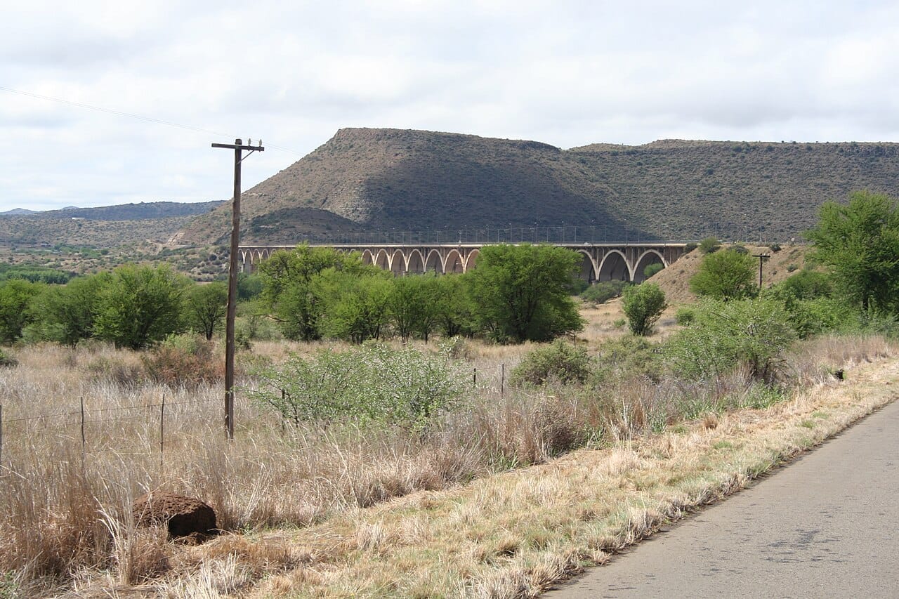
Bethulie is a fitting overnight stop. The town is located above river country with a long railway bridge and views towards the Gariep system.
Day six into Bloemfontein
The final leg follows the R701 from Bethulie to Smithfield, then the N6 north to Bloemfontein. Smithfield is about 120 kilometres south of the city.
This journey is longer than taking the N1 and takes more preparation. It also reveals how large and varied the Karoo really is. The view changes from the Klein Karoo’s folded mountains to the plains around Graaff-Reinet, then opens towards the Gariep and southern Free State.
Road conditions should be checked shortly before departure and night driving is best avoided because animals, potholes and unlit vehicles can appear with little warning. Travelling without the N1 is therefore entirely possible. The reward is the chance to see the towns that the shortcut leaves behind.
 Lynette Spencer
 Liz Thorne
 Mariana Balt




Comments ()