
A potentially historic El Niño is developing. What should the Karoo prepare for?
An unusually powerful climate system is developing and will overlap with the Karoo’s hottest months. The appropriate response is to watch the regional forecasts closely and prepare for heat and water stress while there's still time to do so.
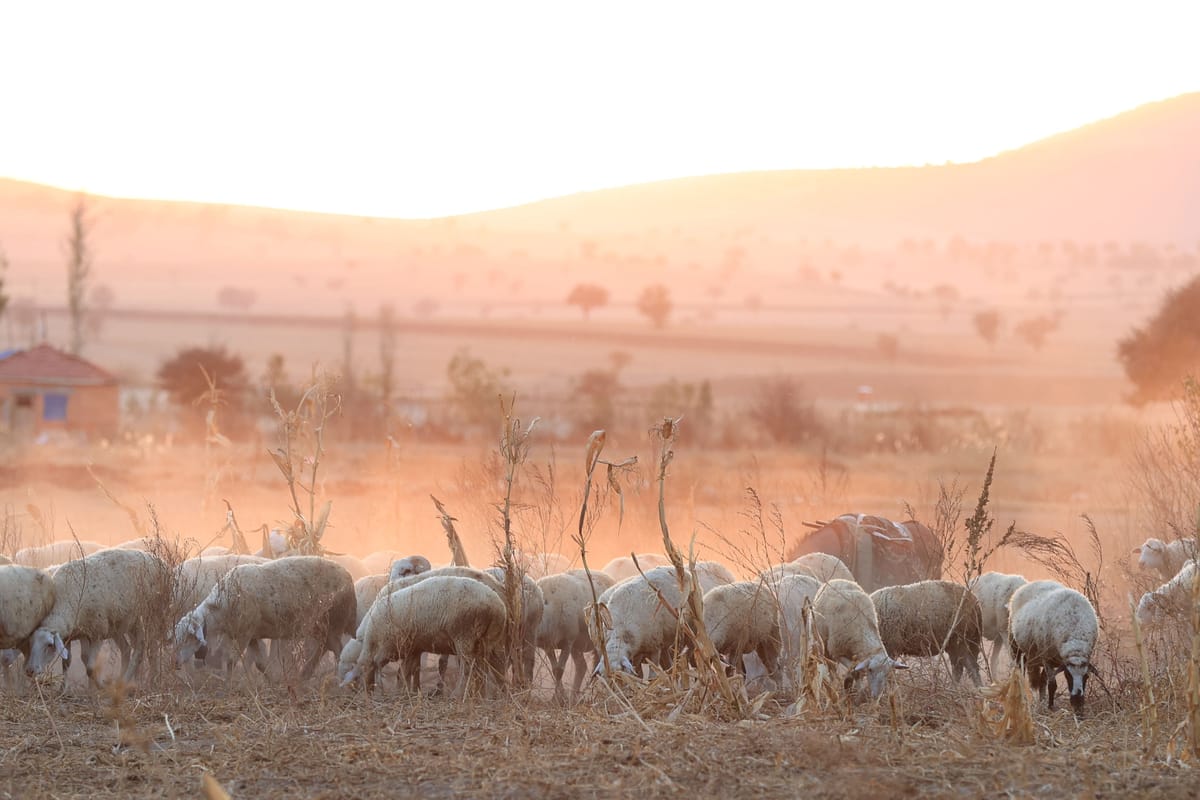
An enormous body of unusually warm water far out in the tropical Pacific is beginning to reorganise weather patterns around the world.
The El Niño that began developing earlier this year has strengthened much faster than initially expected. It's now likely to become a very strong event during the final months of 2026, with a real possibility that it could exceed anything in the modern observational record.
This doesn't amount to a guaranteed drought forecast for the Karoo. El Niño does, however, increase the probability of a hotter, drier summer across much of South Africa’s summer-rainfall interior.
The warning is now substantial enough that governments and international organisations are beginning to plan around it.
El Niño is already here
The El Niño system is already established in the Pacific. What is expected during the Southern Hemisphere summer is its mature and potentially most powerful phase.
In its 13 August update, the United States’ Climate Prediction Center said El Niño was strengthening, with a greater than 90% chance of becoming a very strong event during late 2026 and early 2027.
More strikingly, the report calculated a 69% chance that the event will reach what it calls “historic” strength between October and December. This would mean exceeding the strength of every El Niño in its official record, which begins in 1950.
The World Meteorological Organization is also forecasting rapid intensification, with its models indicating that the event may peak around November, although its influence is expected to continue into early 2027.
The term “super El Niño” is widely used in the media, but it's not a formal scientific classification used consistently by all weather agencies. “Very strong El Niño” is the more accurate description at this stage.
What's happening beneath the Pacific?
El Niño is often described in simple terms as a warming of the Pacific Ocean. While that's correct, it doesn't fully explain why El Niño can influence weather thousands of kilometres away.
Under normal conditions, easterly trade winds push warm surface water westwards across the equatorial Pacific towards Indonesia and Australia. Cooler water rises closer to the South American coast to replace it.
These trade winds weaken and can sometimes reverse during El Niño. The warm water begins spreading back towards the central and eastern Pacific. Rain-producing clouds and thunderstorms move with it.
This pattern disrupts the Walker circulation, the large loop of rising and sinking air that spans the tropical Pacific. Once this circulation changes, it affects pressure systems and the routes taken by weather systems in other parts of the world.
The current event is not only visible at the ocean’s surface. NOAA has measured subsurface temperature anomalies reaching approximately 10°C in parts of the equatorial Pacific. In other words, a deep store of unusually warm water is brewing beneath the surface, providing the system with the energy to strengthen further.
The atmosphere has also begun responding. Winds have changed, rainfall has increased over the central and eastern Pacific and cloud formation has been suppressed closer to Indonesia. This interaction between the ocean and atmosphere confirms that a functioning El Niño system is now in place.
El Niño doesn't make the whole world dry
El Niño doesn't create one global weather condition, but rather the system redistributes rainfall and heat.
Australia, Indonesia and parts of southern Africa often become hotter and drier. Parts of South America, East Africa and the southern United States may experience heavier rain and flooding. Tropical cyclone activity can increase in some ocean basins and decrease in others. The effects can differ sharply even within one country.
A very strong El Niño also doesn't guarantee an equally severe drought. Some moderate events have caused serious rainfall failures, while the powerful 1997–98 event didn't produce the widespread Southern African drought many forecasters feared.
El Niño is best understood as a change in probability: it loads the dice, but it doesn't dictate the result of every throw.
Other influences will also be relevant this summer. These include temperatures in the Atlantic and Indian oceans, the position of regional high-pressure systems, soil moisture and the movement of individual rain-producing systems.
Africa is beginning to prepare
The concern is no longer limited to weather discussions and dramatic headlines. In July, the African Union brought meteorologists and climate specialists together to prepare for the effects of the 2026–27 El Niño. The workshop consolidated regional forecasts into a broader African outlook and focused on moving from disaster response to coordinated early action.
According to the African Union, this work is intended to help protect vulnerable communities while supporting decisions in agriculture, water management, health, energy, infrastructure and tourism.
This doesn't mean that disaster is considered inevitable, but it does mean the probability of disruption is high enough to justify preparation before its exact scale is known.
Australia has adopted a similar approach. Authorities and researchers are discussing water planning, drought resilience, agricultural readiness and the coming bushfire season. At the same time, the country’s scientific agency, CSIRO, has cautioned that bushfire and drought outcomes depend on more than El Niño alone.
Australia's combination of early preparation and scientific restraint offers a useful example for South Africa.
What could it mean for the Karoo?
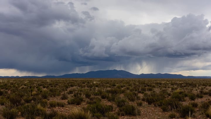
The Karoo can't be treated as one uniform rainfall region. The eastern and central interior receives much of its rain during summer, making these areas more exposed to the traditional Southern African El Niño pattern. The western Karoo lies closer to the winter-rainfall zone, where the relationship with El Niño is considerably more complicated. Between them are large transitional areas where rainfall is variable even in an ordinary year.
The clearest immediate concern across the summer-rainfall parts of the Karoo is heat. Higher temperatures increase evaporation from dams and soil. They also increase plant moisture loss, meaning that veld can come under stress even when rainfall totals don't appear disastrously low.
If seasonal rain is also delayed or reduced, consequences could include poor veld growth, greater reliance on boreholes, declining stock-water supplies and pressure on winter fodder reserves. Livestock could struggle to maintain condition, while heat and nutritional stress can affect conception, milk production, lamb survival and weight gain.
Farmers could face difficult decisions about stocking rates and early sales. Municipalities will have to manage already vulnerable water systems through a period of higher demand and increased evaporation.
Fire is another concern. Some parts of the interior have carried good grass following earlier rain. If that vegetation dries under hot, windy conditions, it can become a substantial fuel load.
A drier season also doesn't rule out floods. Rainfall may be less frequent overall while individual thunderstorms could be severe. A district can experience weeks of punishing heat followed by a cloudburst that damages roads and low-water crossings without restoring deeper soil moisture.
The warning from 1877–78
The historical comparison attracting the most attention is the El Niño of 1877–78, widely regarded as one of the strongest events of the past several centuries.
This event coincided with devastating droughts, crop failures, disease and famine across India, China, Brazil, Africa and other regions. Estimates of the death toll vary from tens of millions to more than 50 million.
Those deaths can't be blamed on weather alone. Colonial policies, poverty, grain exports, weak relief systems and political decisions turned crop failure into mass starvation. Modern forecasting, food storage, transport and disaster management make the world very different.
The South African weather pattern from that period is nevertheless highly relevant. A 2023 scientific reconstruction found that the central interior and eastern provinces experienced extreme drought. Port Elizabeth recorded persistent rainfall deficits extending from 1877 into 1878.
The southwestern Cape experienced almost the opposite. Cape Town’s 1878 rainfall was the highest in its 176-year instrumental record, with rainfall between May and October approximately 75% above the long-term average.
The researchers therefore argue that 1877–78 shouldn't be understood only as a period of global drought, but as a period of extreme and sharply contrasting water conditions.
It's also incorrect to call 1877–78 the last super El Niño. Very strong events occurred in 1982–83, 1997–98, 2015–16 and 2023–24. The 1877 event is being noted because it may be the closest historical comparison for the extraordinary strength now being forecast.
Preparation must begin ahead of time
The current forecast isn't a reason for Karoo farmers to panic, but a reason to examine water supplies, grazing capacity, fodder reserves, firebreaks, borehole reliability and heat plans before summer arrives.
Some forecasts will change as the season approaches. Rain could still fall generously in particular districts. A historic Pacific event may not produce a historic South African drought.
What is no longer seriously in doubt is that an unusually powerful climate system is developing and will overlap with the Karoo’s hottest months. The appropriate response is to watch the regional forecasts closely and prepare for heat and water stress while there's still time to do so.
 Anchen Coetzee
 Liz Thorne
 Mariana Balt
 Anchen Coetzee


Comments ()