Who were the people behind the street names in the Karoo?
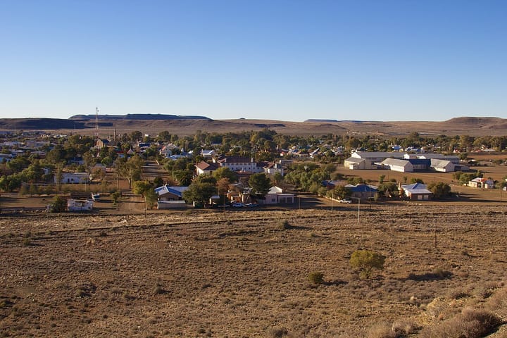
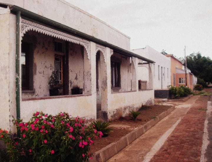
The history behind these older names provides a record of how communities in the Karoo began.
Driving through the towns of the Karoo, it’s easy to miss the stories behind the street signs. Every “Church”, “Donkin”, or “Murray” carries a trace of the people who governed or taught in these communities long before tar and traffic arrived.
In towns like Beaufort West, Cradock and Graaff-Reinet, the road names are a record of the region’s early administrators, missionaries and farmers that laid the foundations of civic life in South Africa’s interior.

Beaufort West - the town that began with a governor
Beaufort West, established in 1818, is the oldest town in the Central Karoo. Its name itself honours Henry Somerset, 5th Duke of Beaufort, who served as a friend and supporter of Lord Charles Somerset, the British governor of the Cape Colony at the time. Many of the town’s early roads echo this colonial chapter.

Donkin Street, for example, pays tribute to Sir Rufane Shaw Donkin, acting governor of the Cape between 1820 and 1821. Donkin’s name appears across South Africa, from Port Elizabeth (which he named after his late wife, Elizabeth) to Beaufort West, where his brief but influential tenure oversaw the expansion of frontier administration.
His policies on land allocation and his support of missionary activities indirectly shaped the early Karoo economy.
Murray Street, another of Beaufort West’s main thoroughfares, honours Rev. Andrew Murray, the pioneering Scottish minister who served the Dutch Reformed Church from 1822.

Murray was instrumental in establishing the region’s first permanent congregation, which gave the town both its social centre and its architectural anchor: the church that still stands today.
His descendants went on to found schools and mission stations across the Cape interior, embedding the family name in multiple towns. These early figures reflected the era’s blend of faith, governance and settlement and the elements that turned a small outpost into a functioning town.
Cradock - educators, missionaries and frontiersmen
Cradock, founded in 1814 on the banks of the Great Fish River, began as a frontier settlement and military outpost. Many of its street names reflect this early borderland identity, shaped by soldiers, settlers and missionaries who tried to establish order in a contested landscape.
Stockenstrom Street remembers Andries Stockenström, a respected frontier administrator of Swedish descent who advocated for fairer treatment of Xhosa communities during the turbulent frontier wars.

As Lieutenant-Governor of the Eastern Districts, Stockenström introduced land treaties that aimed to reduce conflict between settlers and African chiefdoms - a forward-thinking approach for its time, though not without controversy.
A quieter name, Albert Street, recalls Prince Albert of Saxe-Coburg, husband to Queen Victoria, whose influence during the mid-19th century defined much of British civic culture, from town planning to architecture.
In Cradock, the name came to symbolise order, respectability and progress, values the town aspired to embody during its expansion as a wool-farming hub.
Through these names, Cradock’s grid still reflects the ambitions and anxieties of its early colonial founders, a small town designed to bring permanence to a shifting frontier.
Graaff-Reinet - a town of independence and ideals
Graaff-Reinet, the fourth-oldest town in South Africa, holds some of the most layered street histories in the Karoo.
Established in 1786, it was named after Cornelis Jacob van de Graaff, then Governor of the Cape Colony, and his wife, Cornelia Reynet. Together their surnames formed the hybrid name Graaff-Reinet - a gesture that combined formality with affection, and one that survives as a rare personal signature in a town’s identity.
Among its streets, Church Street runs through the heart of town and past the Dutch Reformed Church, the Groot Kerk, which has dominated the skyline since the 1880s.

Though “Church Street” appears in nearly every Karoo town, in Graaff-Reinet it marks the town’s historic role as a centre of independence. In 1795, its citizens declared the short-lived Graaff-Reinet Republic, one of the earliest expressions of self-governance in the colony.
Murray Street appears here, tracing back to Rev. Andrew Murray Sr., who served in Graaff-Reinet before moving westward. His son, Andrew Murray Jr., born in the town in 1828, became one of South Africa’s most influential theologians and educators, founding schools and promoting literacy across the country.
Bourke Street likely honours Sir Richard Bourke, Governor of the Cape from 1831 to 1834, whose liberal reforms included improved municipal management and educational access.
During his tenure, towns like Graaff-Reinet benefited from a more structured civic administration, leading to the establishment of local councils and public works that remain part of the town’s framework today.
These names, etched into signposts and municipal maps, trace the layered evolution of the Karoo’s oldest settlement from a frontier outpost to a self-sustaining town known for its independence and architecture.
A living record in plain sight
Across the Karoo, road names are small memorials to the figures who built churches, governed outposts, taught in one-room schools and argued for roads, bridges and wells long before the railway arrived.
Some represent progress, others the complexities of a colonial past that shaped modern South Africa.
As towns expand and rename roads to reflect contemporary identities, the history behind these older names provides a record of how communities began: often with a church, a farm and a few determined individuals.

Comments ()